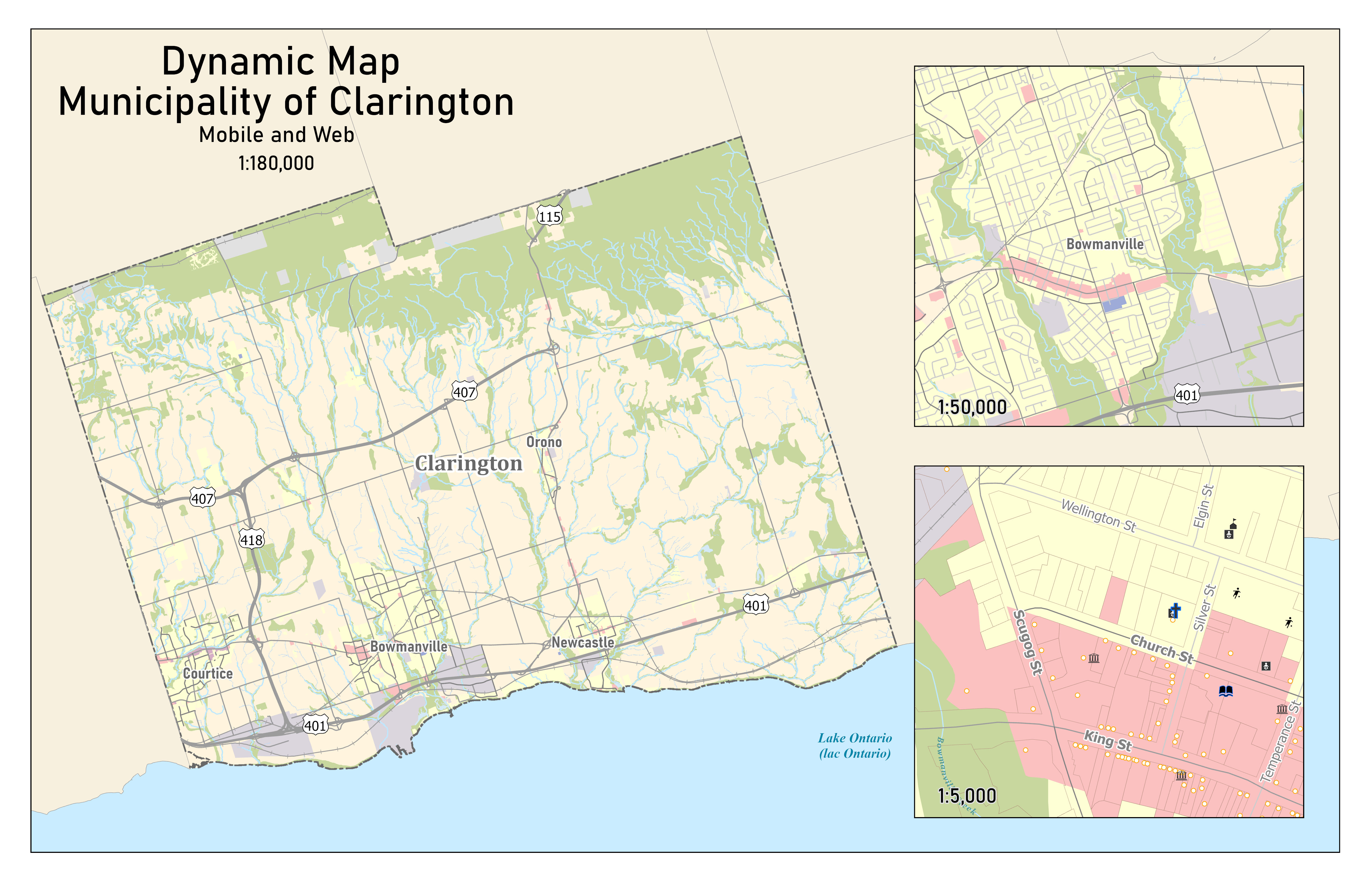
Dynamic basemap of The Municipality of Clarington
Created for use during municipal emergencies such as floods, train derailments and chemical spills.
Map was optimized to
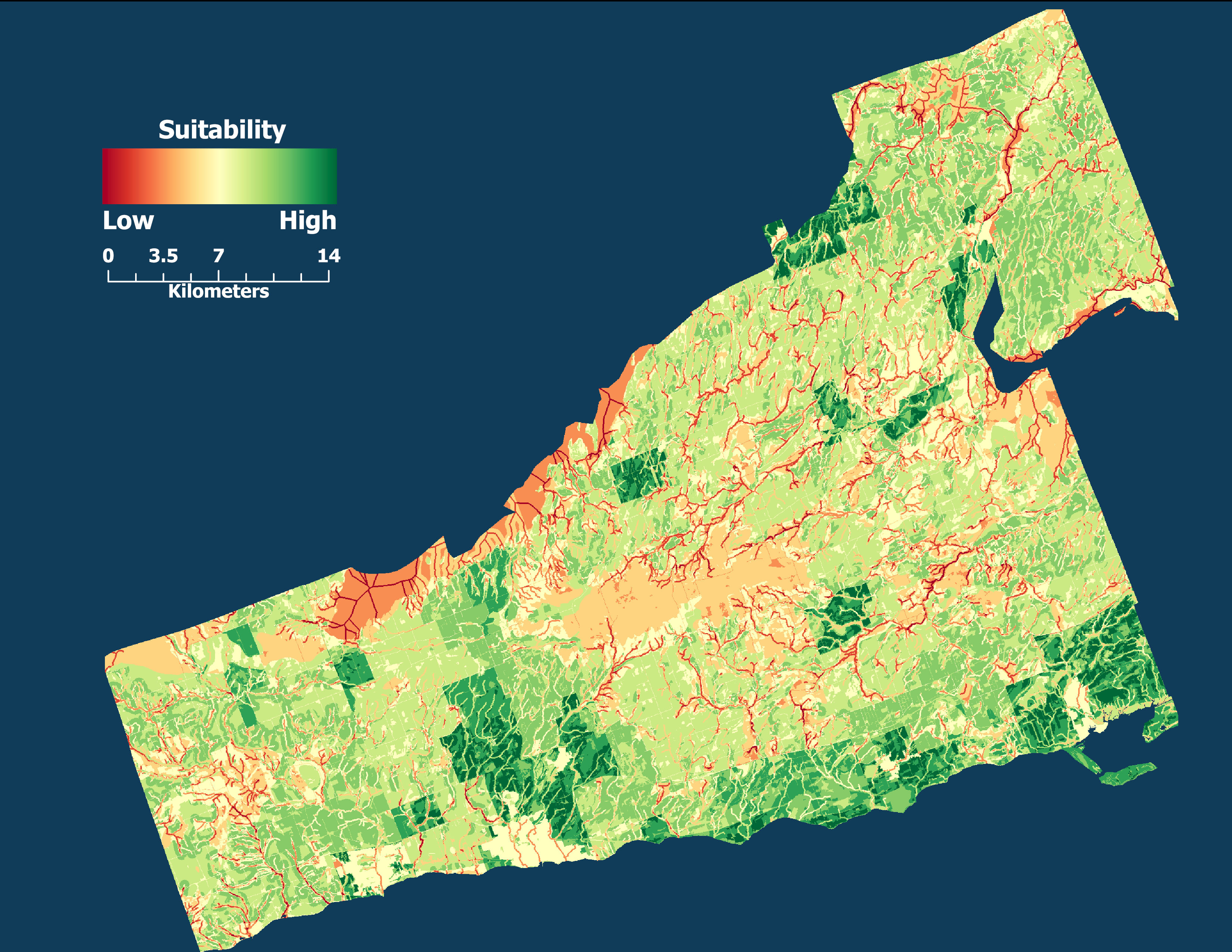
Suitability Map for a Pick-your-own (PYO) Raspberry Farm in Northumberland County
The darker green areas indicate these are most suitable for a PYO raspberry Patch. This was determined using AHP method for a Multi-criteria Decision Analysis based on five factors.
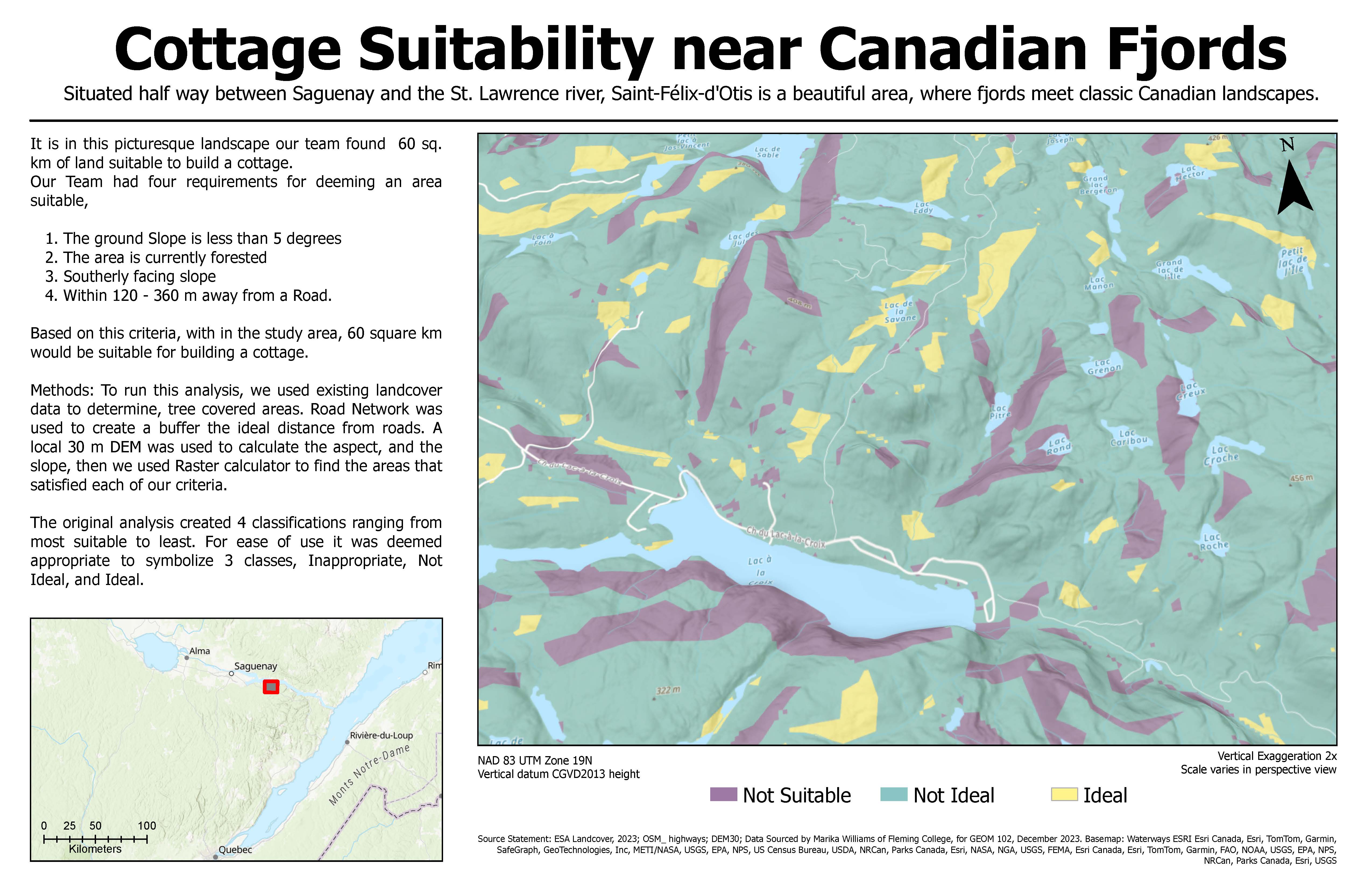
3D-Scene Binary Suitability analysis created using ArcGIS Pro - December 2023
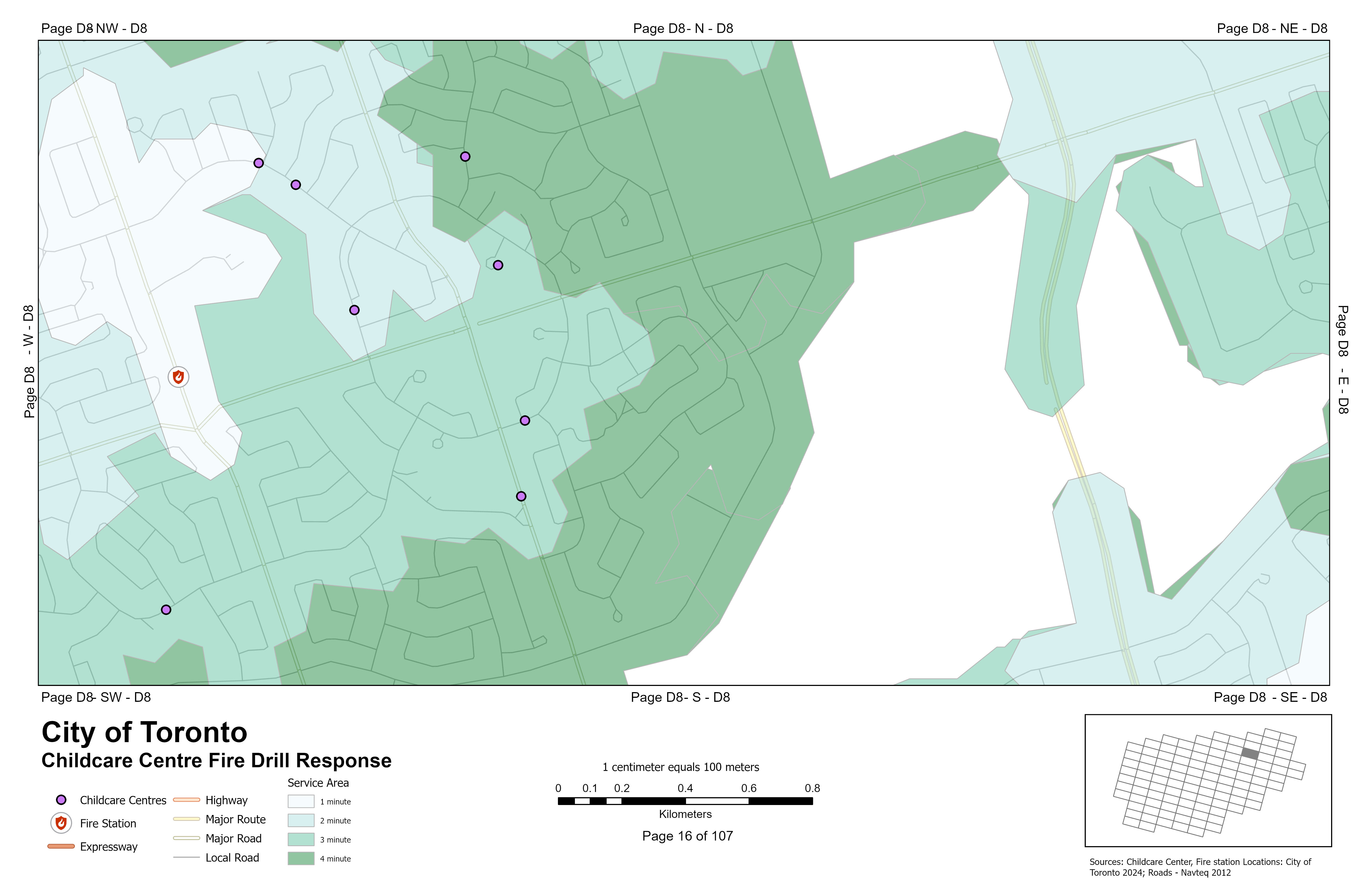
Service Area Analysis, Mapbook
Created using ArcGIS Pro, by geocoding and linear referencing Toronto Fire Stations and Childcare centres.
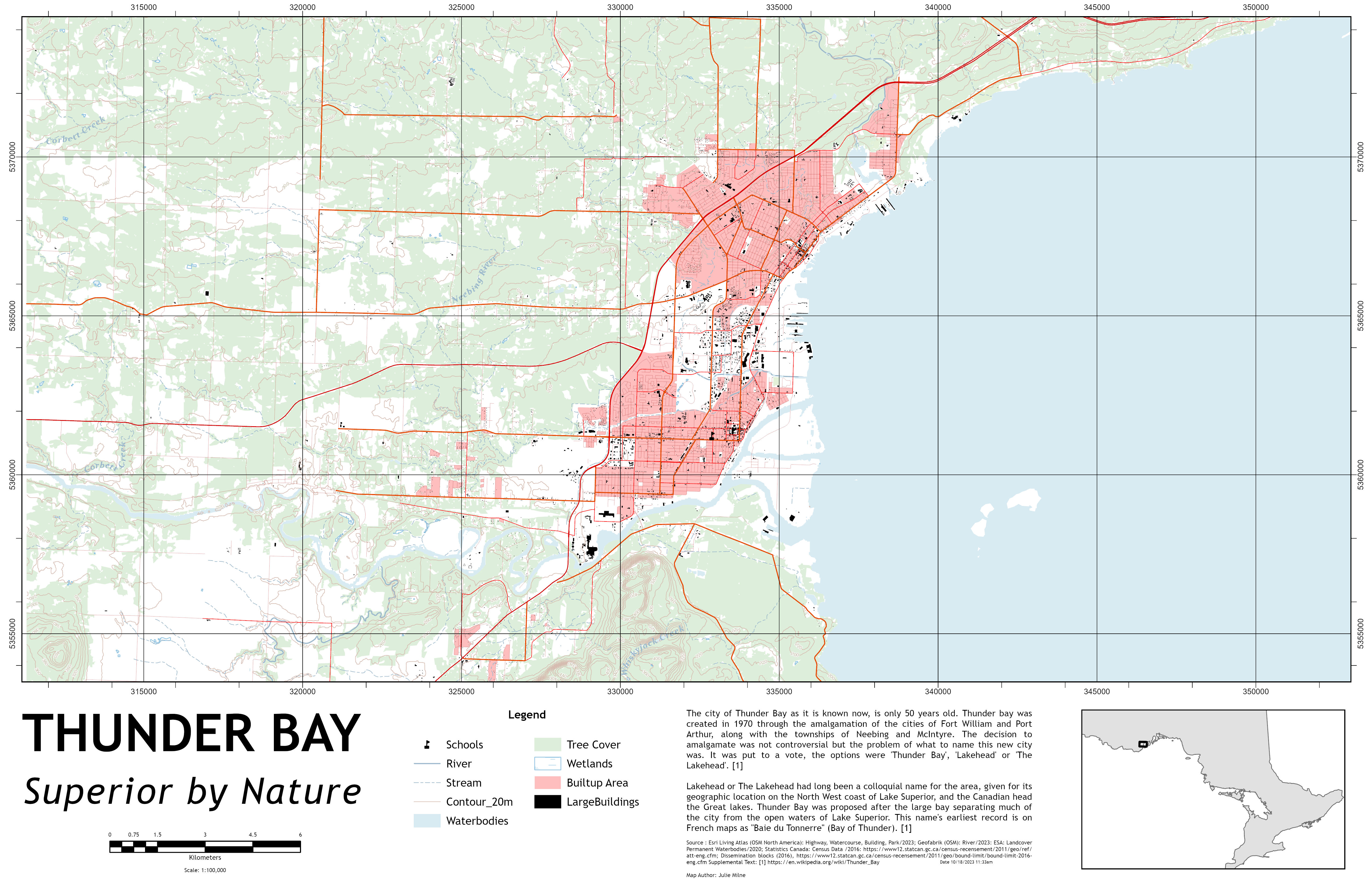
Topographic Map of Thunder Bay, Ontario 1:100,000 following Government of Canada topographic map standards.
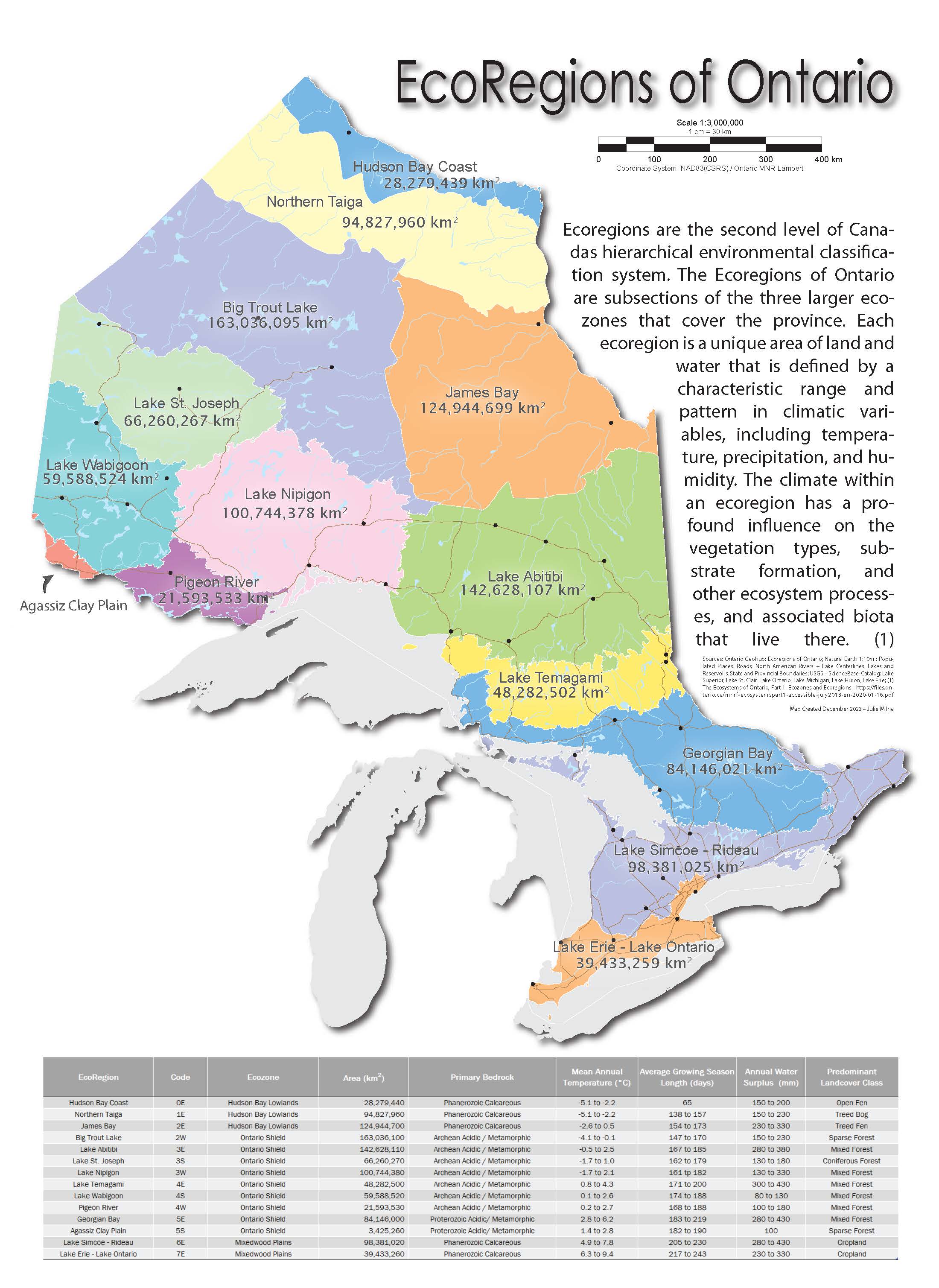
Reference map showing the administrative EcoRegions of Ontario, created using ArcGIS Pro, Adobe Illustrator, and Microsoft Excel.
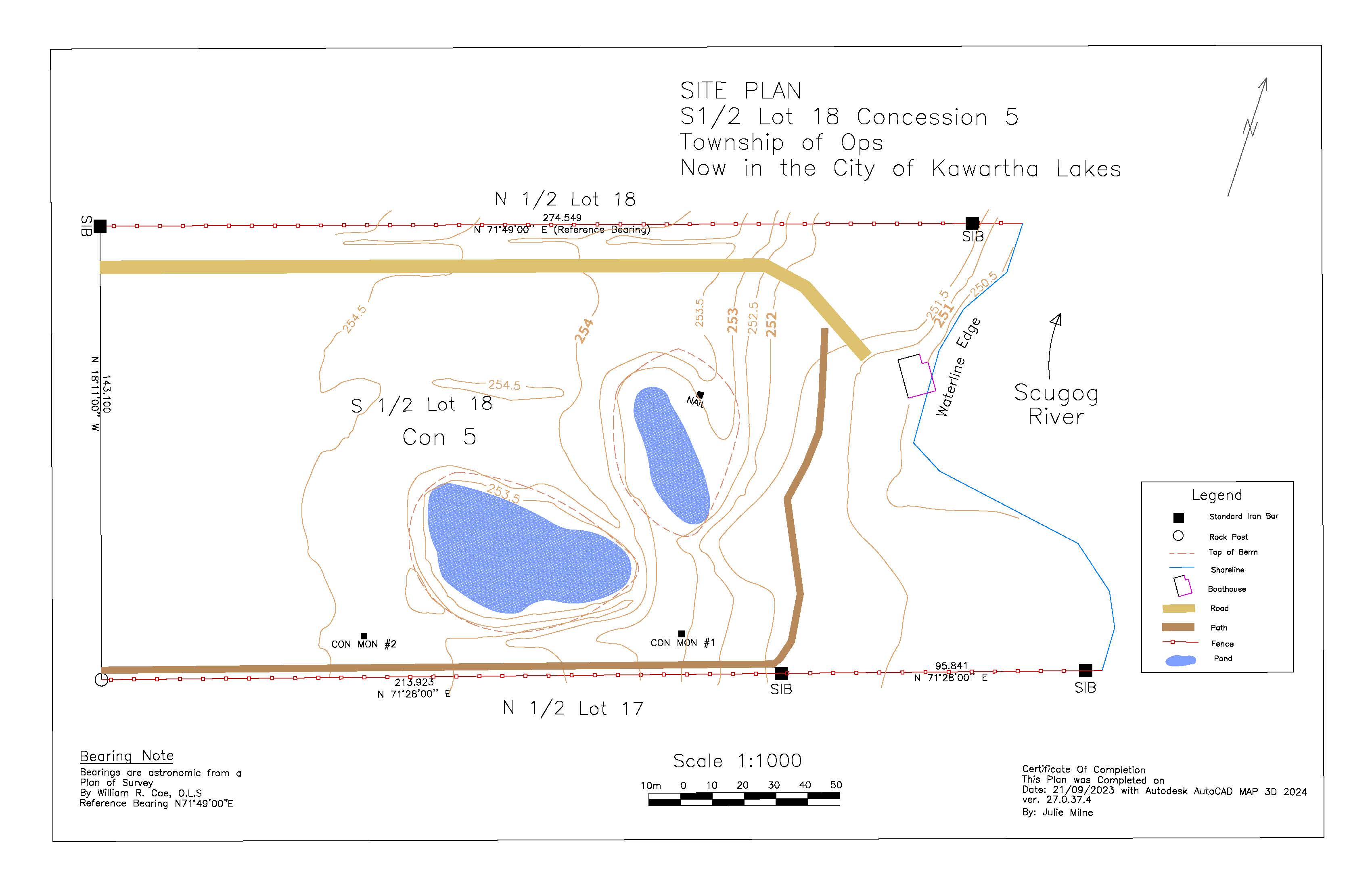
Property survey created using AutoCAD.
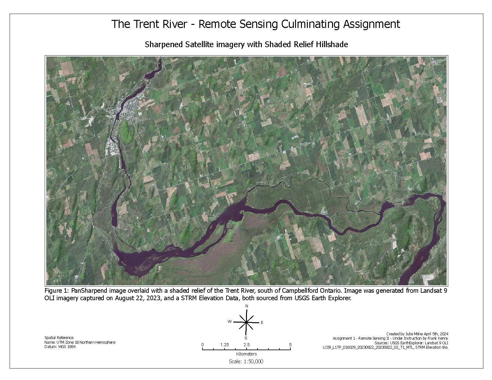
Sharpened Landsat 9 imagry overlayed with Shadend Releif, Created using PCI Catalyst for image processing and ArcGIS Pro for final layout. - April 2024
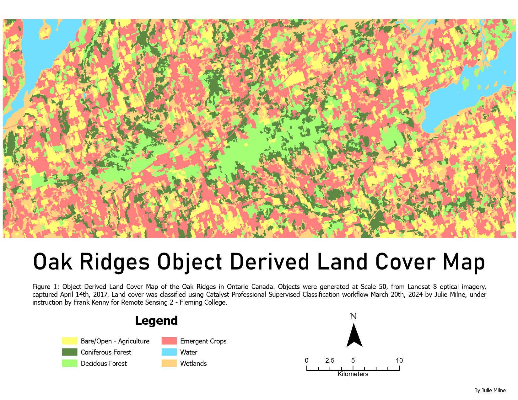
Supervised Image Object Classification land cover map, created using PCI Catalyst and ArcGIS Pro.
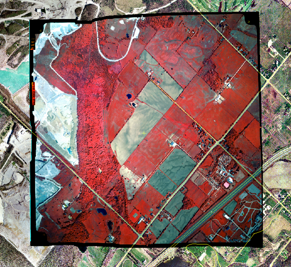
Orthorectified Standard False colour image of Milton Ontario.1:20,000. Image captured June 10th, 1999 by the Southern Ontario Colour Infrared Aerial Photography 1994-2002 project. Image Orthorectified March 1st 2024. Displayed on top of a 75 cm resolution, 2002 true colour image of the area, with the road network overlayed.
Municipality of Clarington Emergency response Toolkit
This project built a toolkit to support municipal wide emergency response;
These outputs were created to replace The Municipality of Clarington's outdated emergency response Web App builder, and ArcReaders tools.
For the full description of this project please visit:
When It All Goes Off The Rails: A Municipal Emergency Response Toolkit